Our Work
Field-based research, education, and partnerships advancing wildlife conservation and resilient landscapes across the Borderlands.
Potential Corridors for Black Bears in West Texas
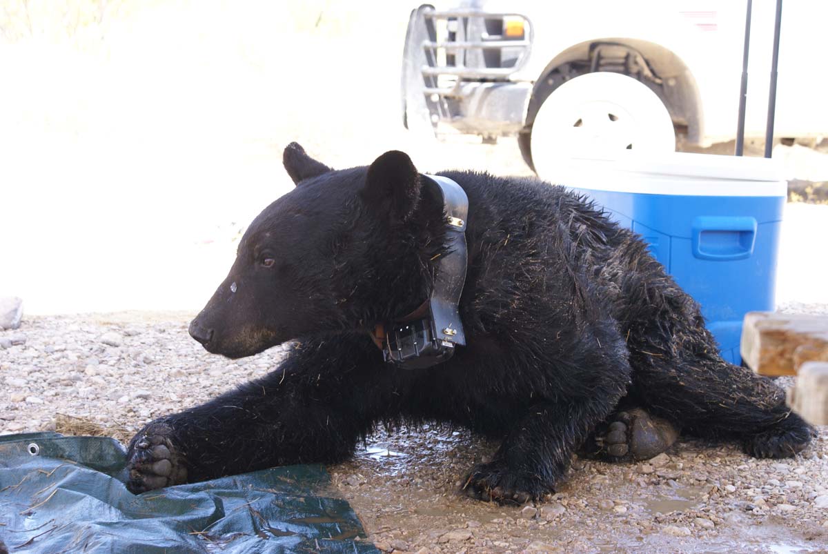
Since the 1990s, black bears have been staging a comeback in the mountain ranges of West Texas and the neighboring mountain ranges in northern Mexico, and now have a breeding population in Big Bend National Park.
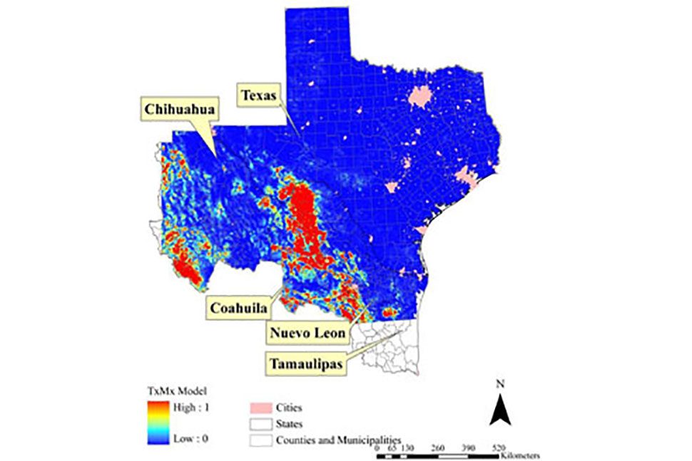
To better understand if, how, when, and where black bears will return to their historic habitats, we used computer models to evaluate recolonization scenarios for the Trans-Pecos region.
Based on previously published research on black bear populations in the Trans-Pecos region, we located several likely habitat patches and possible corridor routes for use in predicting black bear movement throughout the area. We used Habitat Suitability Index (HSI) maps to create a “core” habitat map and a “usable” habitat map. Using these maps, we created a corridor dispersal map of the Trans-Pecos region, showing likely routes that bears would use to move into, out of, and throughout the Trans-Pecos region.
One of the hardest decisions in environmental management is where to focus effort and resources to best protect a species. This corridor map will help wildlife managers evaluate the best places to focus efforts for the naturally recolonizing black bear in western Texas. The corridor routes indicate where to expect black bear movement, including locations that cross roads as well as the international border between Mexico and the United States. This map also assists with landowner outreach and education in highly suitable areas and along potential corridors. The international corridor routes cover a fairly small area along the border, making it possible to prioritize this area to allow free movement of bears.