Our Work
Field-based research, education, and partnerships advancing wildlife conservation and resilient landscapes across the Borderlands.
Quantifying Rangeland Vegetation Structure Using Drones
Christian Lewis
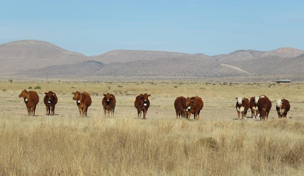
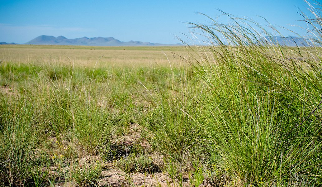
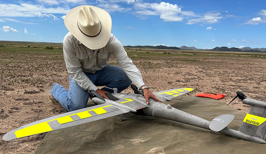
Christian’s research uses drones and high-resolution imagery to measure the spatial structure of vegetation across Chihuahuan Desert rangelands. He is comparing vegetation spatial patterns under rotational and continuous grazing systems to determine how management affects plant cover, distribution, and landscape heterogeneity. Drone-based measurements will be compared with field-collected vegetation data to evaluate the accuracy and efficiency of this emerging monitoring approach. Because vegetation patterns influence water movement, soil erosion, wildlife habitat, and forage availability, understanding their spatial arrangement is important for effective management. This project will help develop practical drone-based methods for monitoring large and environmentally variable rangelands.