Our Work
Field-based research, education, and partnerships advancing wildlife conservation and resilient landscapes across the Borderlands.
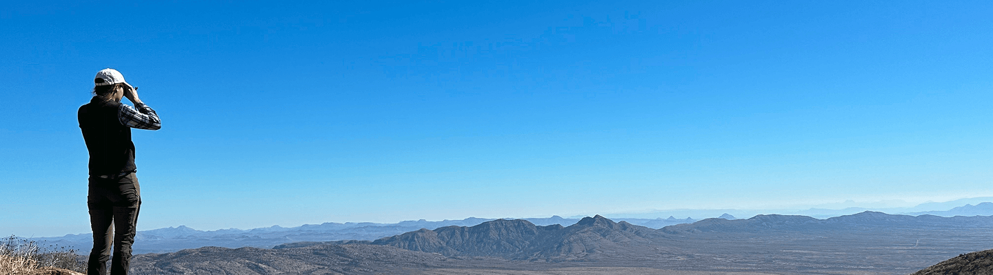
Using Remote Sensing to Measure the Effectiveness of Trincheras
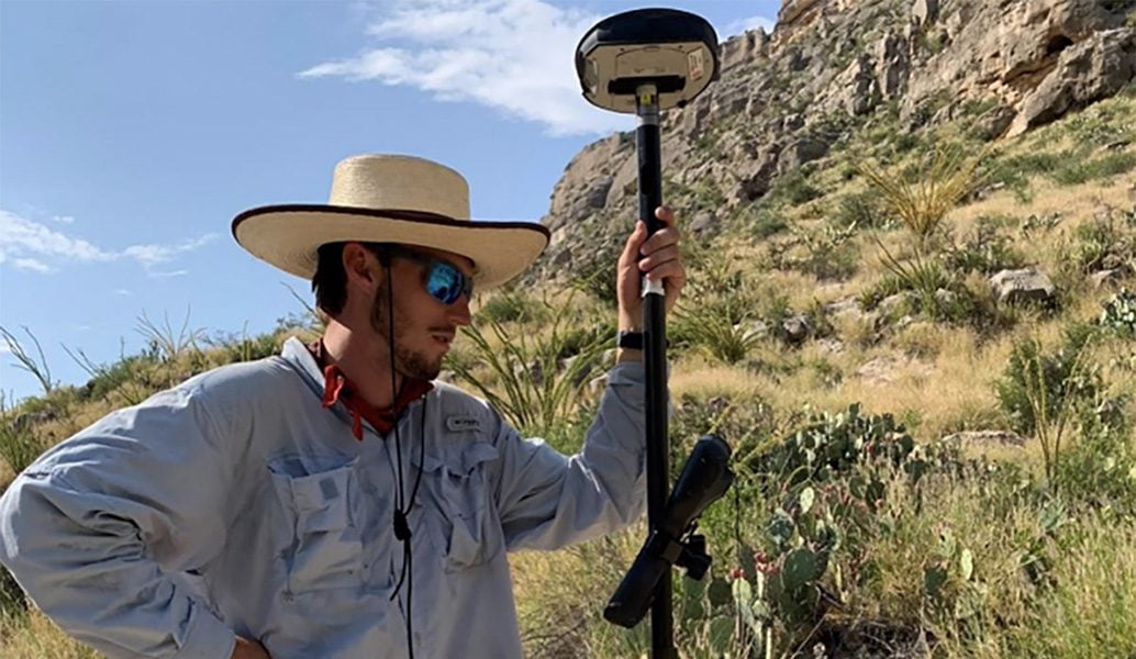
Gray Hancock
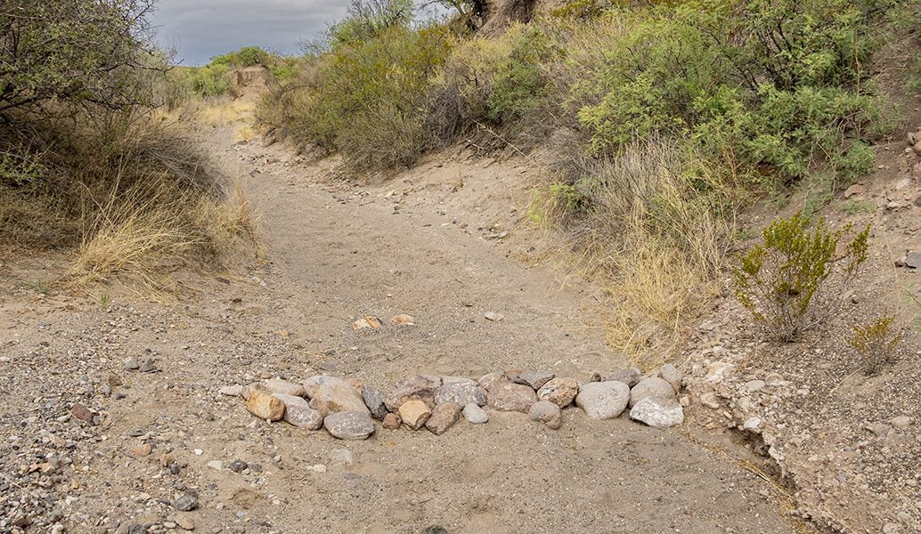
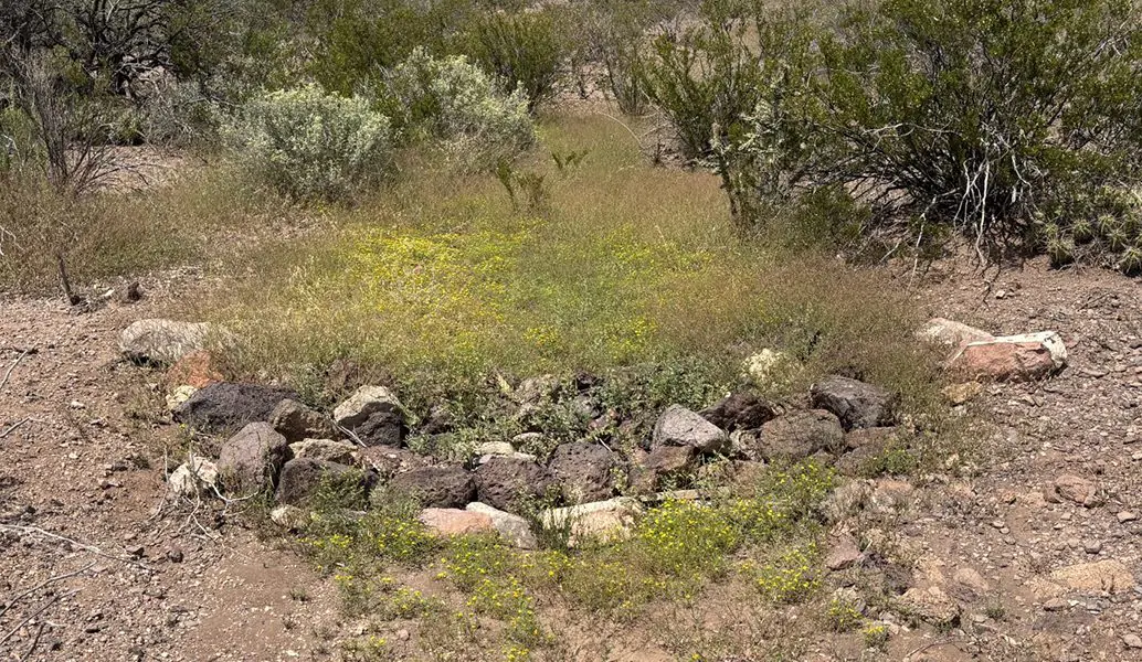
Gray’s research evaluates how effectively trincheras (small, loose-rock structures constructed within ephemeral channels) slow runoff and capture sediment. Using overlapping photographs collected with cellphones and drones, Gray creates three-dimensional surface models that measure changes in soil volume upstream of individual structures. These restoration efforts will lead to vegetation and hydrologic conditions that help improve water retention and plant establishment. This work provides an accurate and relatively inexpensive method for documenting restoration outcomes. The findings will help land managers determine where trincheras are most effective and how these structures can improve watershed function and rangeland resilience over time.