
Our Work
Field-based research, education, and partnerships advancing wildlife conservation and resilient landscapes across the Borderlands.
Mule Deer In The Trans-Pecos: Using Satellite Technology For Habitat Monitoring
By Kevin LeGrow, Justin French, Mark Bell, and Shawn Gray (TPWD)[1]
Deer (Odocoileus hemionus) is a species of management concern in Texas because of its economic importance and declining populations. While many factors may contribute to population declines, brush encroachment degrades mule deer habitat quality throughout their range.
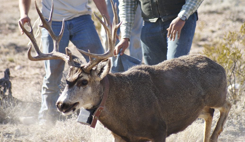
We are studying the influences of brush encroachment on habitat selection within a population of mule deer in the Trans-Pecos region of Texas and the consequences of that selection for individual survival. From 2015–23, 96 mule deer at Black Gap Wildlife Management Area (WMA) were fitted with GPS collars.
We use Integrated Step Selection Analysis (iSSA) as the framework to analyze the GPS data and add brush density as one of the environmental covariates. To estimate brush density, we use a novel approach combining field vegetation data, rasters of the modified soil-adjusted vegetation index (MSAVI), and Functional Principal Component Analysis (fPCA) to relate vegetation dynamics to brush canopy cover.
We hypothesize that the variation in vegetation phenology will show a pattern that will allow us to determine the difference between woody and herbaceous vegetation and ultimately be used to estimate brush canopy cover at a landscape scale. We found that patterns of vegetation phenology are indicative of the degree of brush canopy cover (β = 1.53, SE = 0.83, p = 0.076).
We require additional sampling to achieve sufficient precision to predict over landscape scales. This framework could then be used to monitor mule deer habitat quality via satellite, facilitating mule deer habitat improvements.