
Our Work
Field-based research, education, and partnerships advancing wildlife conservation and resilient landscapes across the Borderlands.

ProngMap: Understanding And Monitoring Pronghorn Habitat Change Across The Trans-Pecos
By Justin French, Erin C. O’Connell, Alexandra M. Hettena, Maya A. Vaughn, Caleb L. Hughes, Carlos E. Gonzalez, Louis A. Harveson, and Shawn Gray (TPWD)
The protracted decline of pronghorn in the Trans-Pecos since 1985 is attributed to numerous factors that are ultimately related to changes in habitat quality and connectivity. However, we do not understand how the distribution or quality of pronghorn habitat has changed over that time.
The extensive GPS tracking dataset generated in recent restoration efforts, ongoing advances in analysis methods, and the rapidly increasing accessibility of long-term satellite imagery datasets create a perfect storm to understand how pronghorn respond to the changing West Texas environment. In turn, this allows us to project when, where, and how pronghorn habitat has changed in the Trans-Pecos since 1985, as well as monitor those changes into the foreseeable future. This sprawling project encompasses multiple MS theses and will progressively refine our understanding of pronghorn habitat in the region.
To date, we have fit the first generation of pronghorn habitat models using over 2 million GPS locations, reflecting 391 individual pronghorn across 10 years of varied habitat conditions in Presidio, Jeff Davis, Pecos, and Brewster counties. Data collection continues, particularly in Hudspeth and Culberson counties, which will extend the project to the rest of the Trans-Pecos.
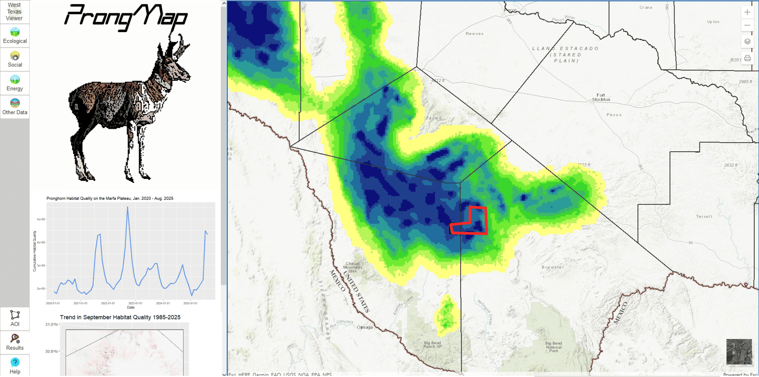
Preliminary results suggest that pronghorn habitat is highly dynamic, with dramatic shifts in quality, extent, and spatial distribution from year to year. However, the first-generation models do not capture the effect of brush encroachment, and we are actively developing methods to address this.
Once brush effects are incorporated into the second generation of models, we will build a publicly accessible decision support tool called ProngMap. This web-based program will allow land managers to summarize long-term trends in pronghorn habitat on their property, as well as project the impacts of potential habitat management actions. These spatially explicit projections will help maximize the impact of pronghorn habitat management actions and allow managers to monitor their efficacy.