About Us
Advancing conservation science through research, education, and partnerships across the Borderlands.

Undergraduate Assistant
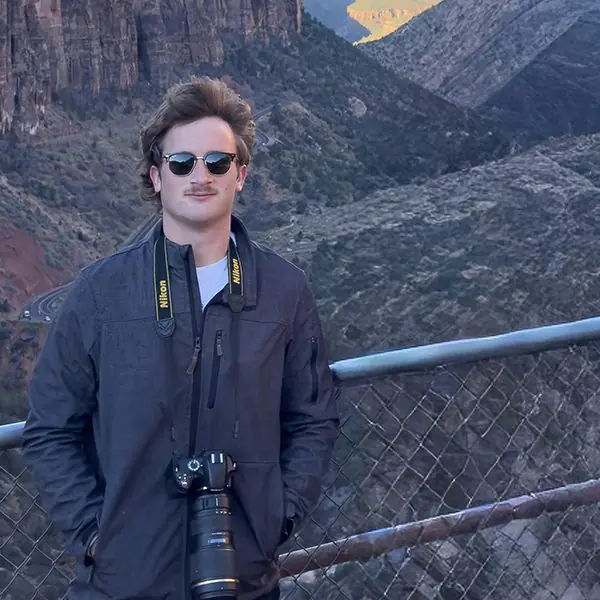
Michael Purcell
Project: Monitoring Herbicide Treatments Using UAV Derived Imagery
Advisor: Drs. Carlos Gonzales, Silverio Avila, Antonio Cantu, and Christian Lewis
Michael is a Natural Resource Management major at Sul Ross State University with a passion for the outdoors and a strong commitment to conservation. His interest in range and wildlife management stems from his love of outdoor activities, including camping, hiking, hunting, and fishing. Through these experiences, he has developed an appreciation for the valuable life lessons the outdoors offers and the importance of responsible natural resource management. After graduation, Michael hopes to contribute to conservation efforts that protect and improve landscapes, ensuring future generations can enjoy the outdoors as much as he does.
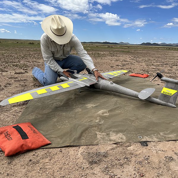
Riparian areas are critical ecosystems within arid rangelands of the Chihuahuan Desert as they provide water, forage, and habitat for wildlife and livestock. However, these areas are among the most threatened due to overgrazing, human development, altered fire regimes, and drought. These disturbances can promote woody plant encroachment, potentially reducing herbaceous vegetation through competition for limited water and nutrient resources. The application of herbicides to control woody encroachment is easily scalable and requires less time than common mechanical treatments for brush management. However, despite the widespread use of herbicides, methods for monitoring vegetation responses to these treatments at landscape scales using fine-resolution remote sensing remain poorly developed. Therefore, we captured UAV imagery of Chihuahuan Desert rangelands dominated by mesquite and creosote bush treated with Tebuthiuron 20P granules. In this study, our goal is to evaluate different methods of vegetation classification using fine-scale imagery derived from Unmanned Aerial Vehicles (UAV). Our objective is to discriminate plant functional groups and cover (grasses, forbs, shrubs, and bare soil) to track changes from brush-dominated cover toward grassland cover and recovery. UAV flights will produce high-resolution (2 cm pixel) orthomosaics to obtain vegetation indices and canopy height models. We will investigate supervised and unsupervised processes using pixel-based, object-based, and ultimately deep learning methods. The resulting methods will be evaluated for their ability to classify vegetation and detect changes following herbicide treatment. This work will help monitor brush-management outcomes and vegetation recovery in the Chihuahuan Desert.