
Land And Nature Decision Support System
Conservation Vision
The goal of the Land And Nature Decision Support System is to provide information and resources to help minimize developmental impacts to locally significant ecological and social-cultural assets in Far West Texas.
The Origin
LANDSS was born from an effort called Respect Big Bend, convening experts and stakeholders from the tri-county area (Brewster, Jeff Davis, Presidio) to serve on a Stakeholder Advisory Group (SAG) to identify priorities in the region. Members included local landowners, energy industry and service providers, community members, government officials, and conservation partners.
The advisory group identified seven values that are the foundation of a shared conservation vision for the Tri-County region:
- Ranching heritage and private property rights
- Sky islands, water resources, and grasslands
- Wildlife and migratory corridors
- Tourism and hunting
- Viewsheds and vistas, dark skies, remoteness, and quietude
- Community, safety, quality of life
- Culture, music, and the arts
The Data
Respect Big Bend translated those ecological and social values into spatial data proxies. (For example, water resources are represented by known riparian areas, wetlands, and springs.) The spatial data was compiled from ongoing research projects at the Bureau of Economic Geology, The Nature Conservancy, and BRI, then mapped across an 18-county study area. All input values were equally weighted and summed together into a single metric representing a surface of cumulative values across the entire landscape.
By estimating future energy development patterns, we can determine the likelihood that oil, gas, solar, or wind development may occur at a particular location over the next 30 years, circa 2050. More information about the design process and methods for collecting and mapping data can be found in the 2021 Technical Report.
Intended Use
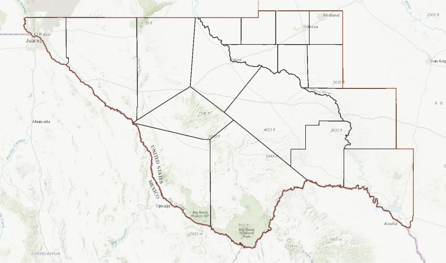
LANDSS focuses on 18 counties in West Texas. Users can toggle layers showing the Cumulative Values Map, individual ecological and social layers, existing oil and gas pads, existing renewables sites, different scenarios forecasting the impact of oil/gas development, and potential for renewables site development.
LANDSS can also be used to analyze an area of interest (AOI) to determine the percentage of value classes. The process involves selecting a county, uploading a shapefile (saved as a zipped file), or drawing a polygon directly on the map. The results of the AOI analysis can be viewed in the Results tab and saved to an HTML page, if desired.
Use of LANDSS can be considered the first step in making a siting decision, but it should not be considered a substitute for on-the-ground knowledge and validation. We strongly recommend working with conservation agencies/organizations (TPWD, NRCS, BRI, etc.) on any significant land management decision involving siting of energy development. We hope that energy development companies, conservation organizations, and private landowners will consult with LANDSS as they move forward with siting decisions.
LANDSS currently reflects datasets from 2020. The projections for energy sites may change as technology improves and new sites are developed. LANDSS does not include any historical resources or archaeological sites.
Access LANDSS Here:
https://s3.amazonaws.com/DevByDesign-Web/Apps/wt_rbb/index.html
For more information on Respect Big Bend, energy siting, or land management decisions, please contact:
Billy Tarrant, Associate Director of Stewardship Service
Billy.Tarrant@sulross.edu